![]()
AR Showcase Building
Embed a construction project in a 3D environment model from swisstopo.
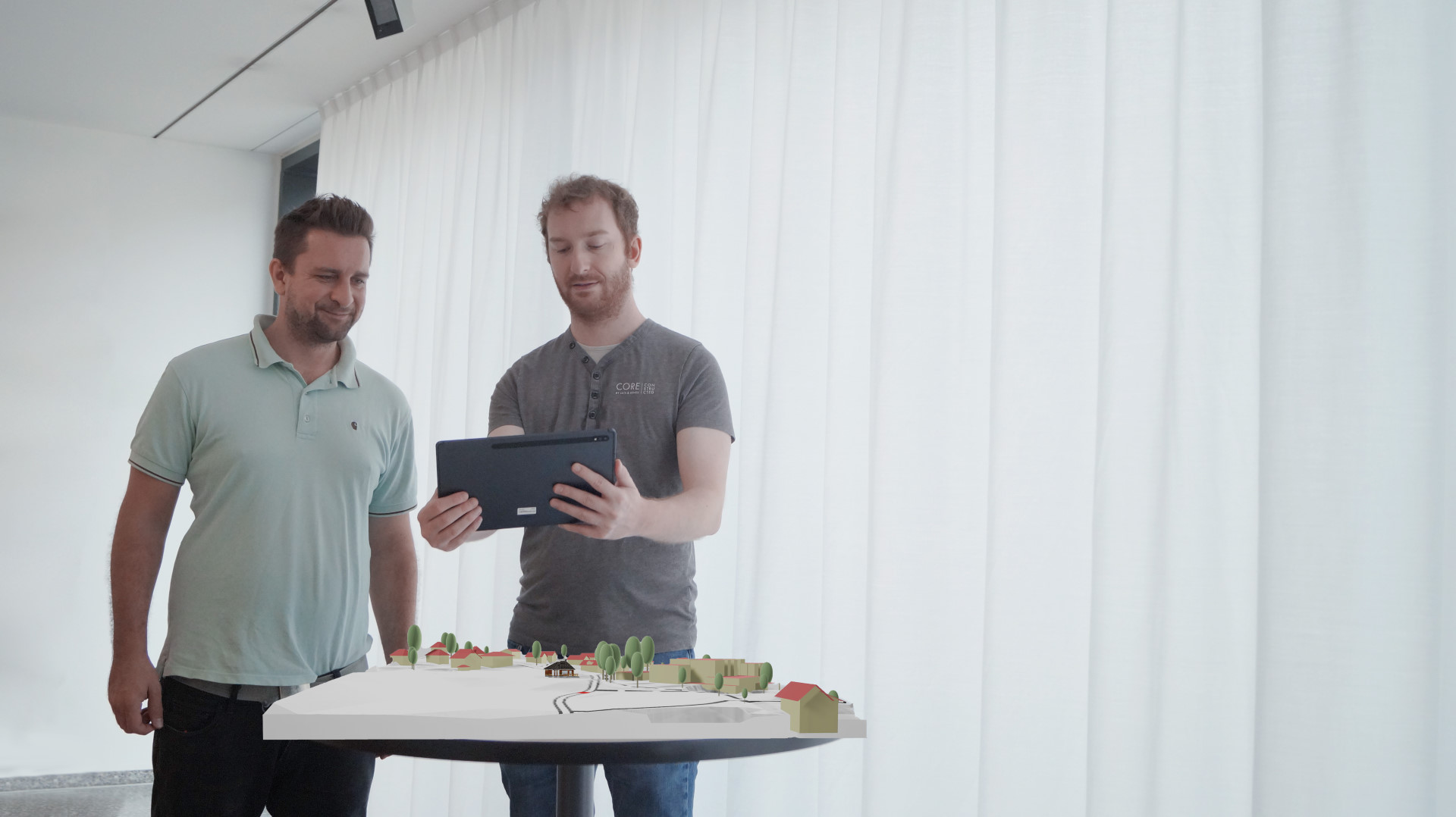
Display the 3D model in Augmented Reality and share it with other stakeholders.
Project
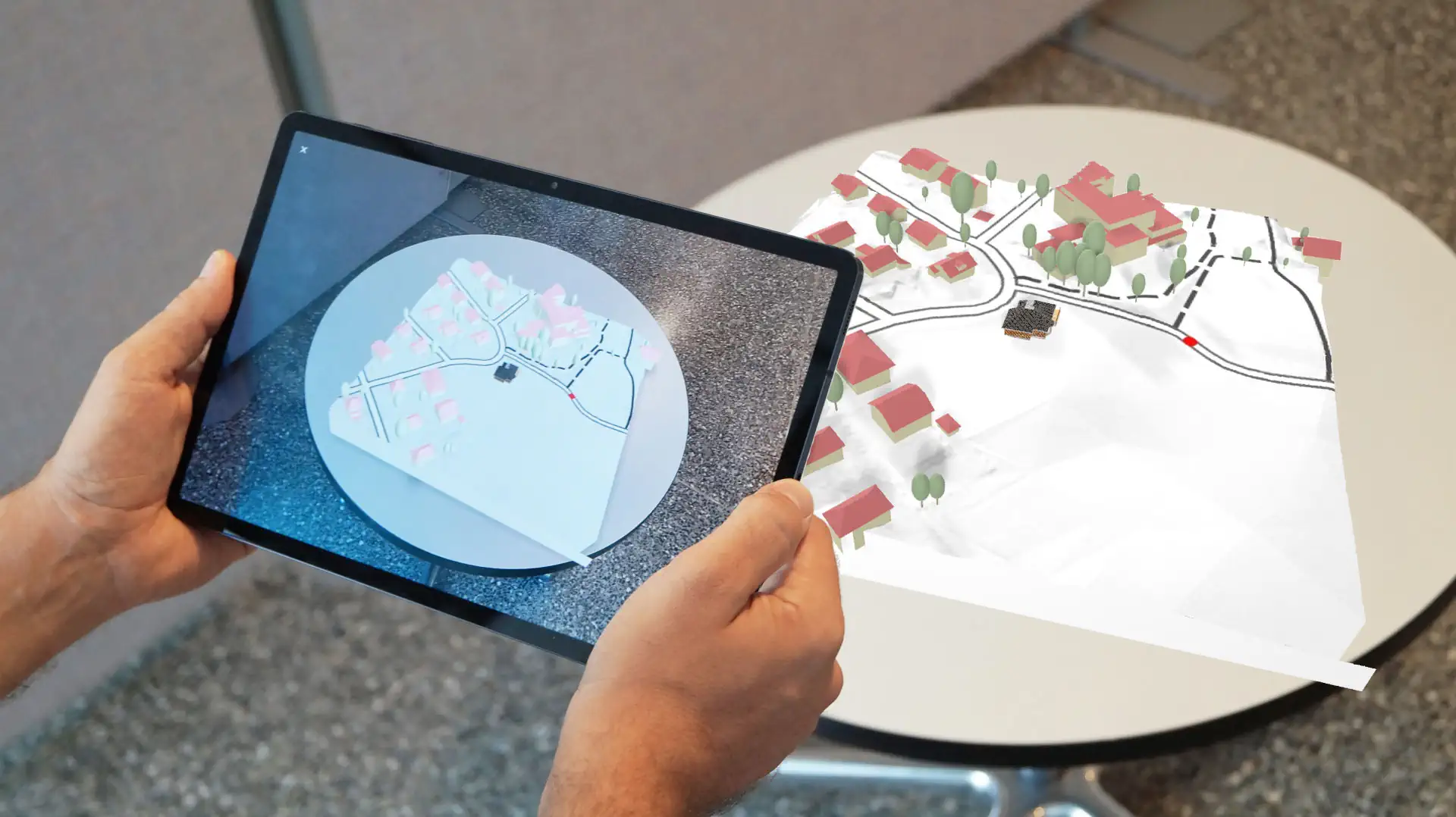
Construction projects come to success when stakeholders from the private and the public sector as well as the general public work hand in hand. All the data is already created digitally but oftentimes it is not easily accessible to all stakeholders. This showcase for Android devices shows how Augmented Reality (AR) makes construction projects more accessible and understandable to a wide audience. And it demonstrates what is currently possible with the excellent survey data provided by swisstopo combined with newly available Cloud and Web technologies.
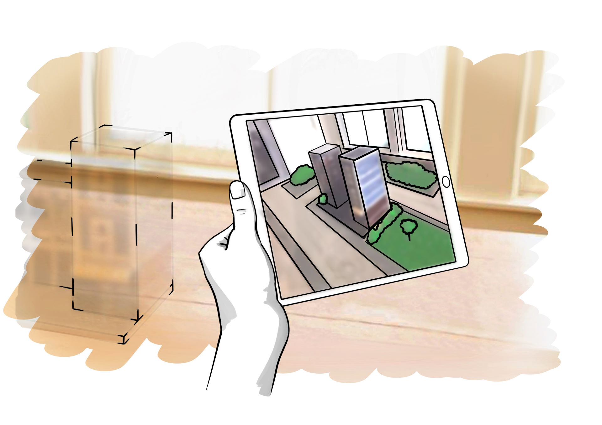
In the application, a planned development can be embedded in a three-dimensional environment model from swisstopo. The virtual scene including the project is created to be viewed in 3D and to be shared with any stakeholder. The model can be placed in space using the AR function. This visualization helps to convey the base idea of complex building projects, so that stakeholders can inform themselves quicker and communicate with their peers effectively.
Further information about Augmented Reality with swisstopo geodata is available at www.swisstopo.ch/ar.

Technical Background
This app is largely built on open source technologies: The serverless back-end lives in Microsoft Azure. The back-end delivers the Progressive Web App (PWA) to the client device, stores the 3D files (GLB) in a Blob Storage and the spatial data in a Cosmos DB. It converts the different file formats through the assimp library which is triggered by Azure Functions.
The Progressive Web App on the client side uses WebAssembly and Blazor. The swisstopo Web Map Service is used for the positioning of the 3D models on the plane and a Babylon.js component enables the user to precisely align the model spatially. Finally, the Google Model Viewer Web Component (WebXR) enables the user to admire the scene in beautiful Augmented Reality.
Used Geodata
- Buildings as 3D models with roof geometries from the product swissBUILDINGS3D 2.0
- Tree positions, bridges and cable cars derived from the product swissTLM3D
- Terrain model derived from the product swissALTI3D
- Terrain texture from the service SWISSIMAGE / WMS

